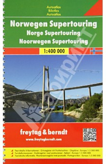
Norway. Supertouring Road Atlas 1: 400 000
-
Сейчас читают
-
Отложили
-
Прочитали
-
Не дочитали
Spiral-bound Superatlas of Norway at 1:400 000 scale that depicts elevation with shaded-relief and color tinting. The map pagesshow highways and roads, scenic routes, rail and ferry lines, ports, distances in kilometers. Thorough placename index.
Крепление: двойная евроспираль.
- 2013 г.
- 9783707904628
Материалы
Отзывы
Раз в месяц дарим подарки самому активному читателю.Оставляйте больше отзывов, и мы наградим вас!
Цитаты
Вы можете первыми опубликовать цитату